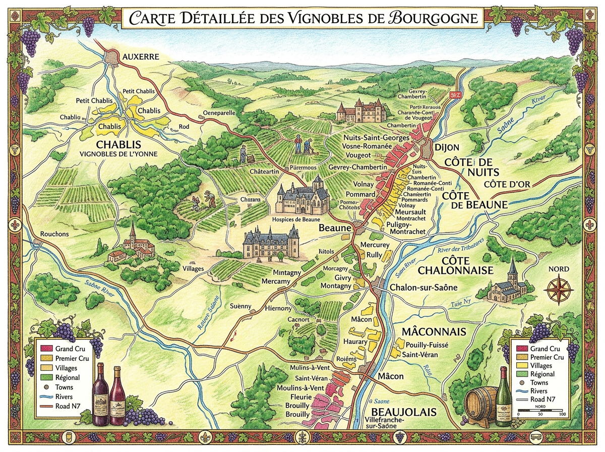
A detailed illustrated map showing the vineyards and wine classifications of Burgundy, France.
This image is a colorful, hand-drawn style map titled ‘Carte Détaillée des Vignobles de Bourgogne,’ depicting the Burgundy wine region in France. It shows various vineyard zones, including Grand Cru, Premier Cru, Villages, and Regional classifications, color-coded in red, yellow, green, and light green respectively. The map also highlights key towns such as Beaune, Dijon, Chablis, and Mâcon, as well as rivers like the Saône and the Sulonne. Decorative grapevine borders, wine bottles, and barrels frame the map, enhancing the thematic focus on viticulture. Small illustrations of vineyards, workers, and historic buildings add visual interest and context to the wine-growing landscape.
 Boozy Lifestyle©